Satellite Provides Beautiful Images Of Earth From Space (20 pictures)
The European Space Agency’s 1.2-ton GOCE gravity-mapping satellite plunged through the atmosphere on Sunday and broke up into bits over the South Atlantic Ocean. GOCE re-entered Earth’s atmosphere around 7:16 p.m. ET Sunday, hitting the atmosphere over a spot due south of the Falkland Islands, around the coordinates of 60 degrees west and 56 degrees south, ESA said.
About 500 pounds (250 kilograms) worth of debris was expected to have survived the car-sized satellite’s re-entry, but no damage was immediately reported.
GOCE gave up the ghost last month when its fuel ran out, marking the end of a four-year-long scientific mission. Its orbit gradually decayed over the course of the past few weeks, leading to Sunday’s uncontrolled atmospheric re-entry. Previous satellite plunges, such as last year’s fall of the 14-ton Russia’s Phobos-Grunt probe, have sparked alarms about the potential threat from falling debris — but ESA downplayed the potential threat from GOCE because of its significantly smaller mass.
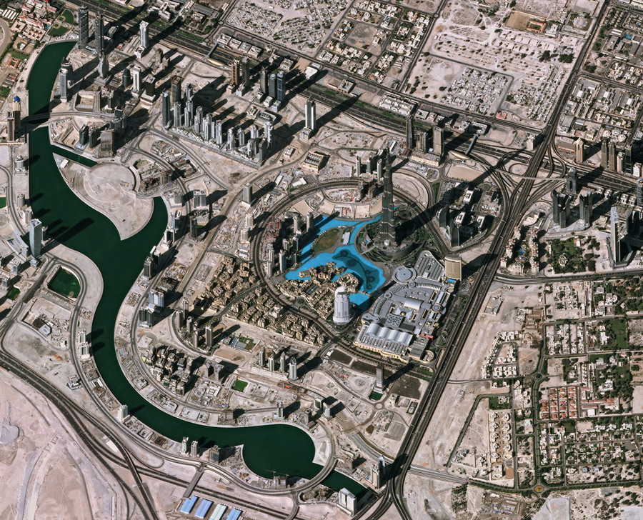
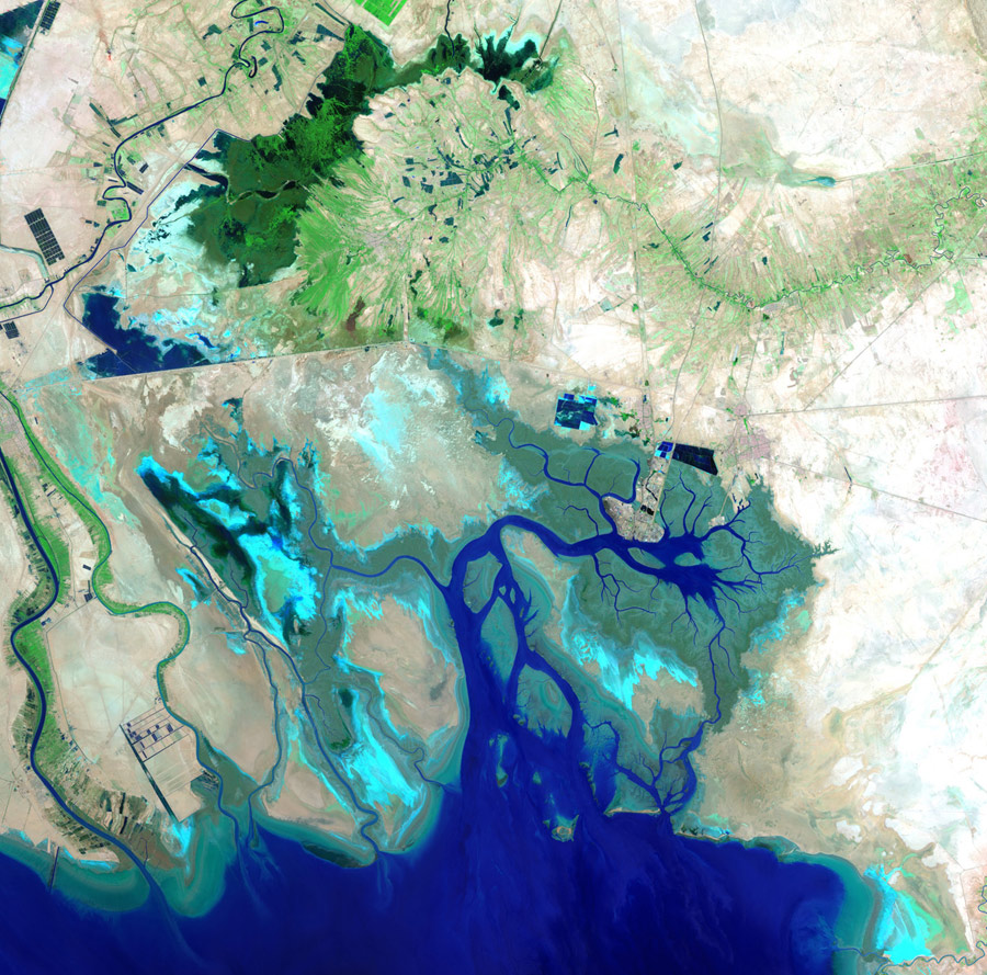
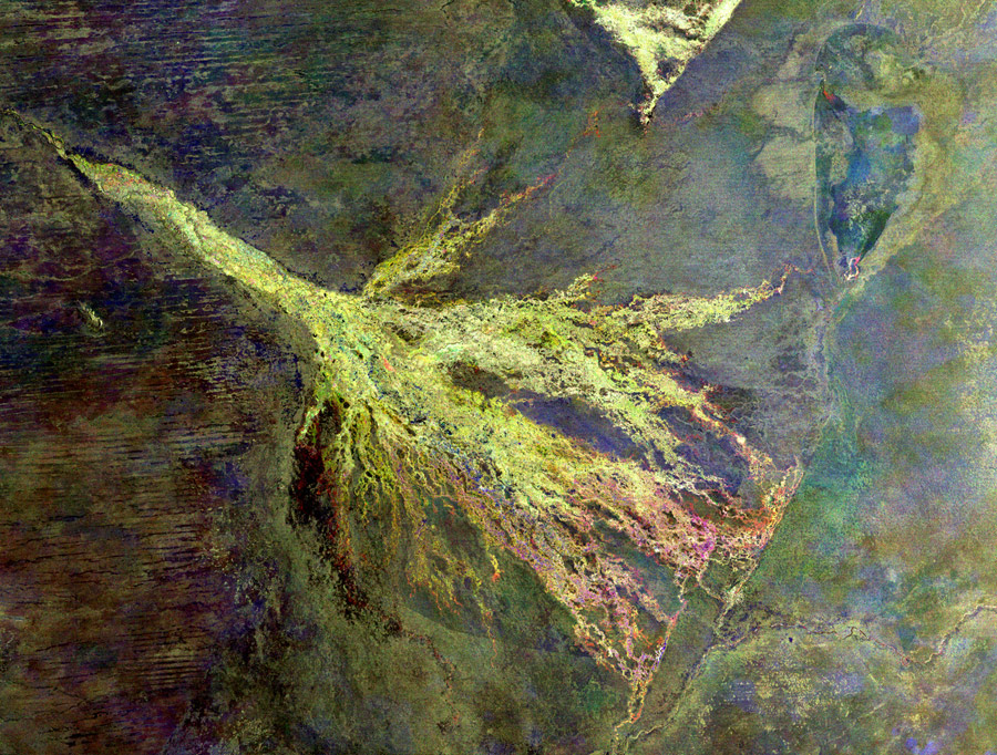
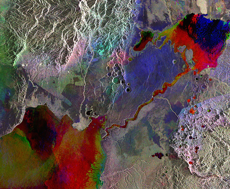
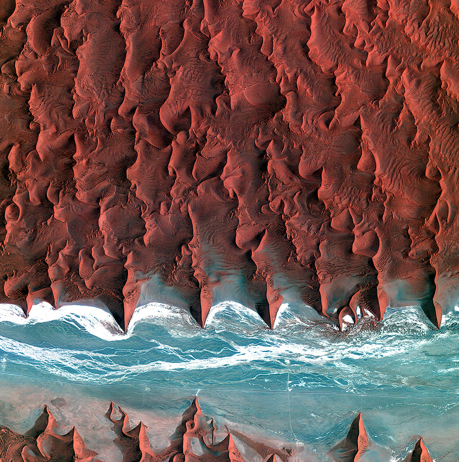
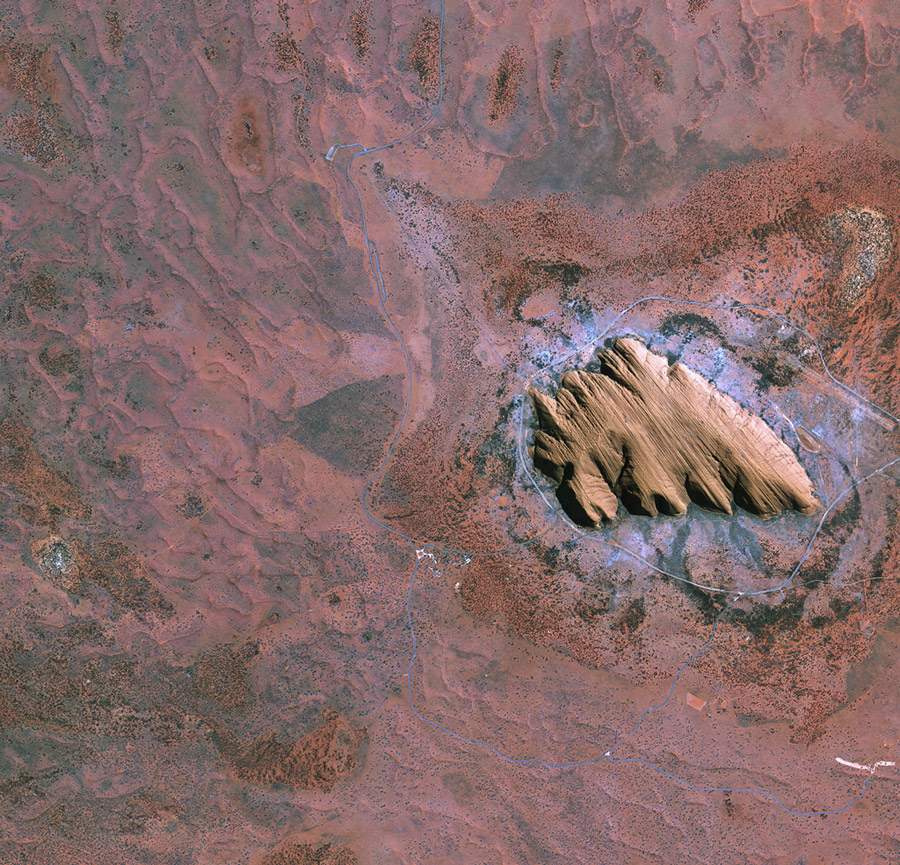
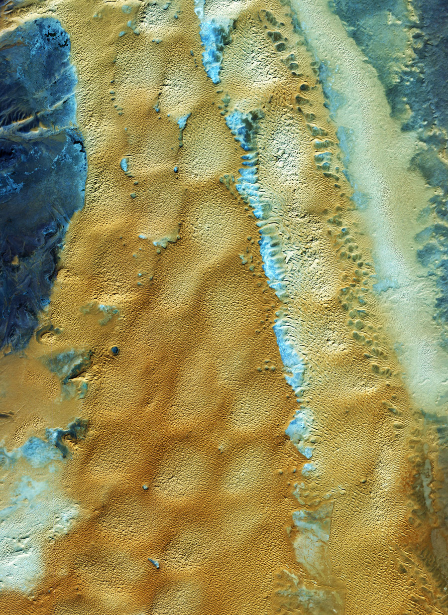
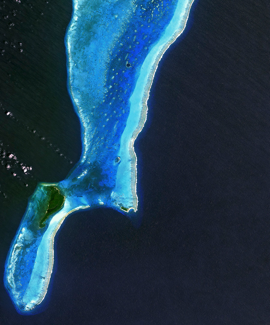
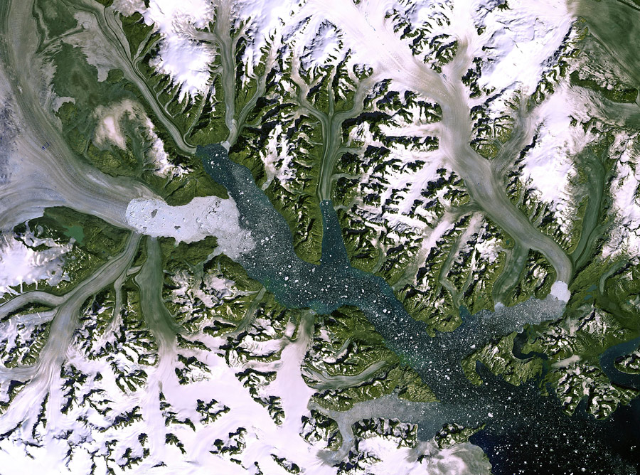
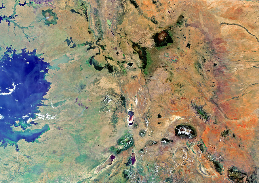
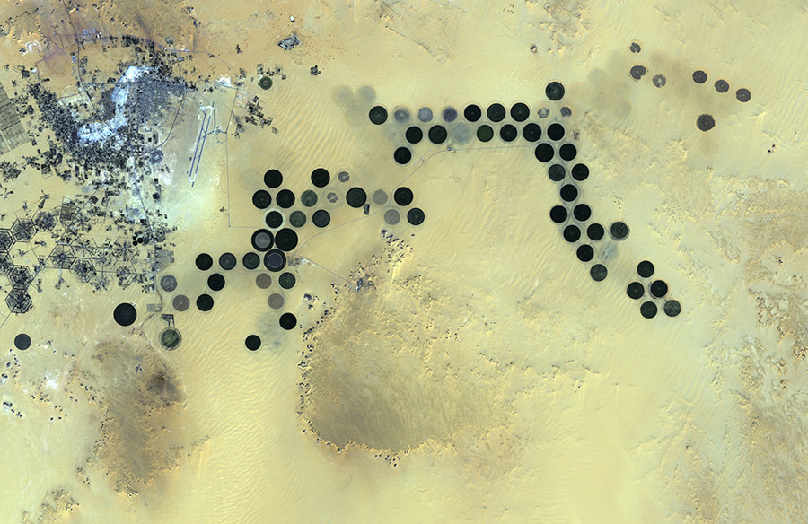
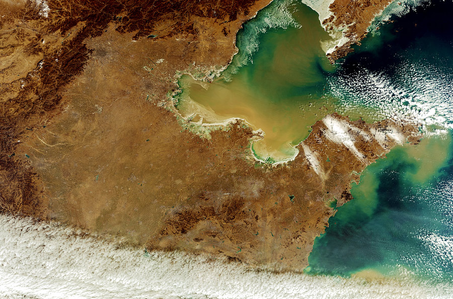
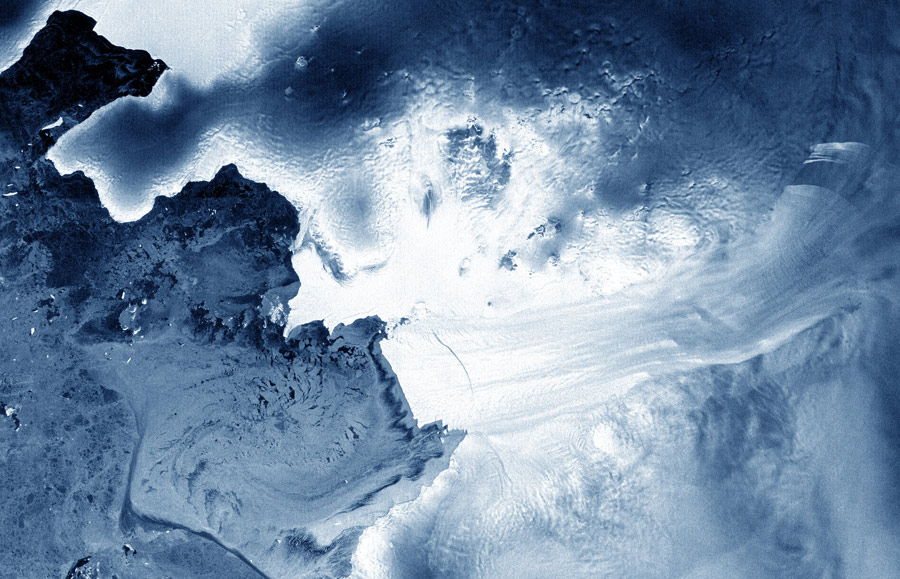
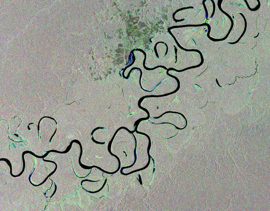
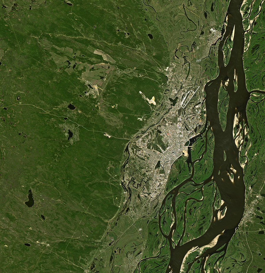
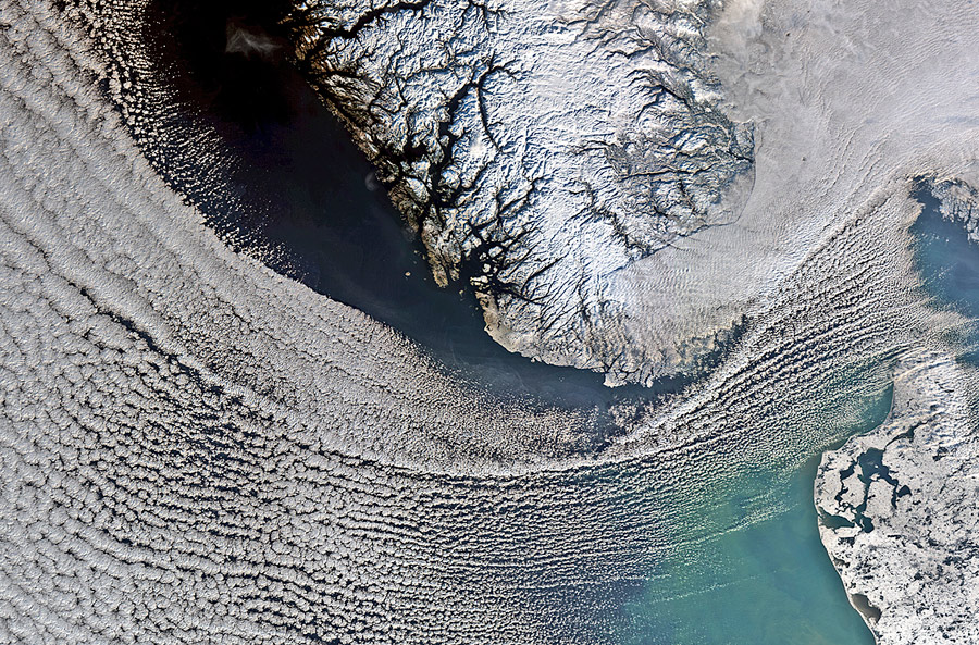
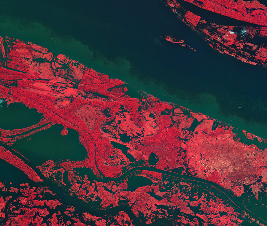
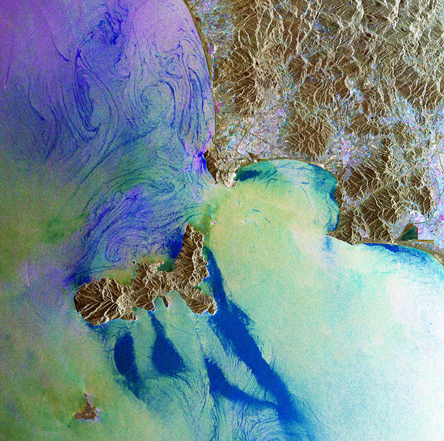
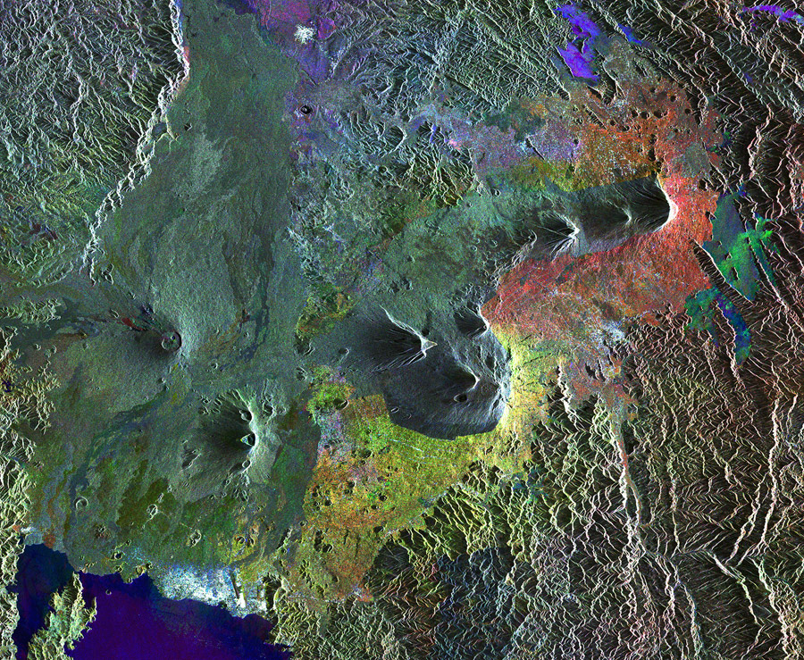
GOCE not only helped trace Earth’s gravitational field in unprecedented detail but it also took incredibly beautiful photos of the Earth’s surface. Here are some of the best photo from it’s “Observing The Earth” series.