The ‘Underwater Waterfall’ Illusion at Mauritius Island (6 pictures)
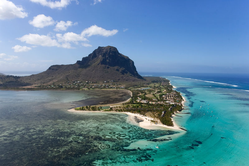
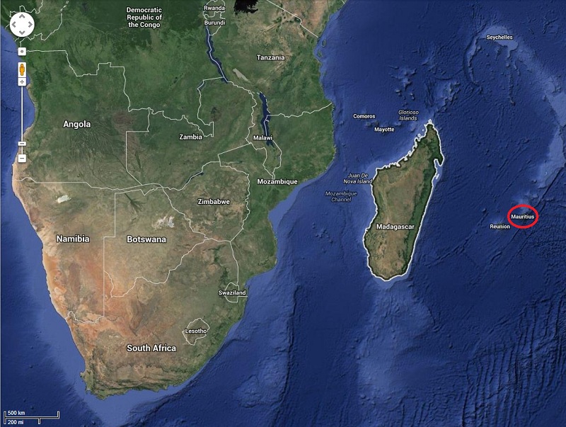
Mauritius is an island nation in the Indian Ocean about 2,000 kilometres (1,200 mi) off the southeast coast of the African continent. Mauritius was first discovered by the Arabs in 975 AD, then by the Portuguese between 1507 and 1513. Since then there have been periods of succession and colonization between the French, Dutch and British. The island became a republic in 1968.
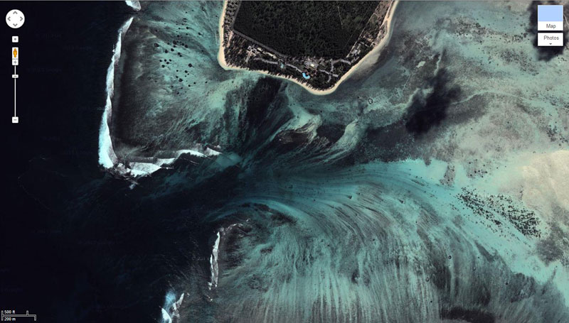
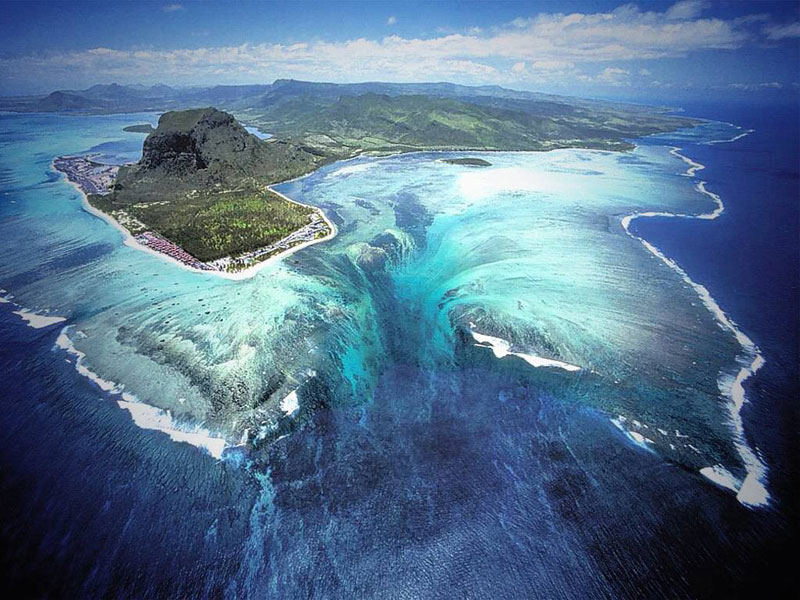
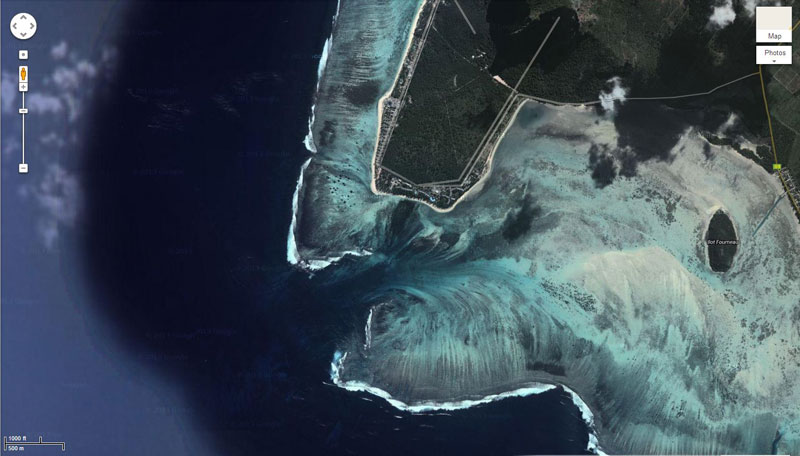
Located at the Southwestern tip of the island you will find a fascinating illusion. When viewed from above, a runoff of sand and silt deposits creates the impression of an ‘underwater waterfall’. Satellite views (as seen in the Google Maps screenshots below) are equally dramatic, as an underwater vortex seemingly appears off the coast of this tropical paradise.