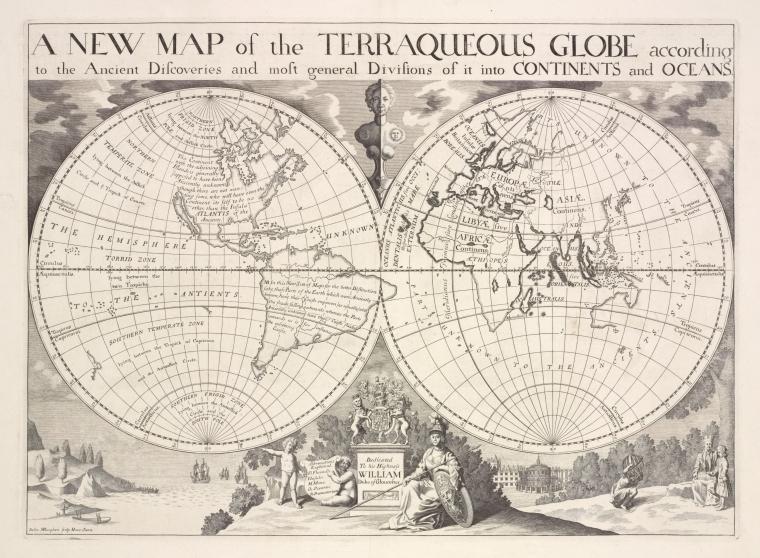
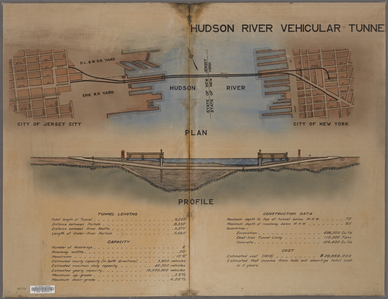
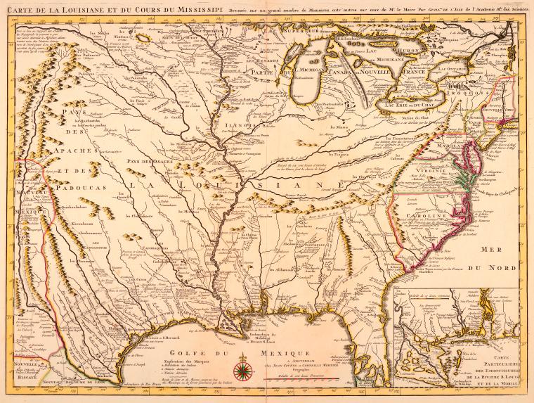
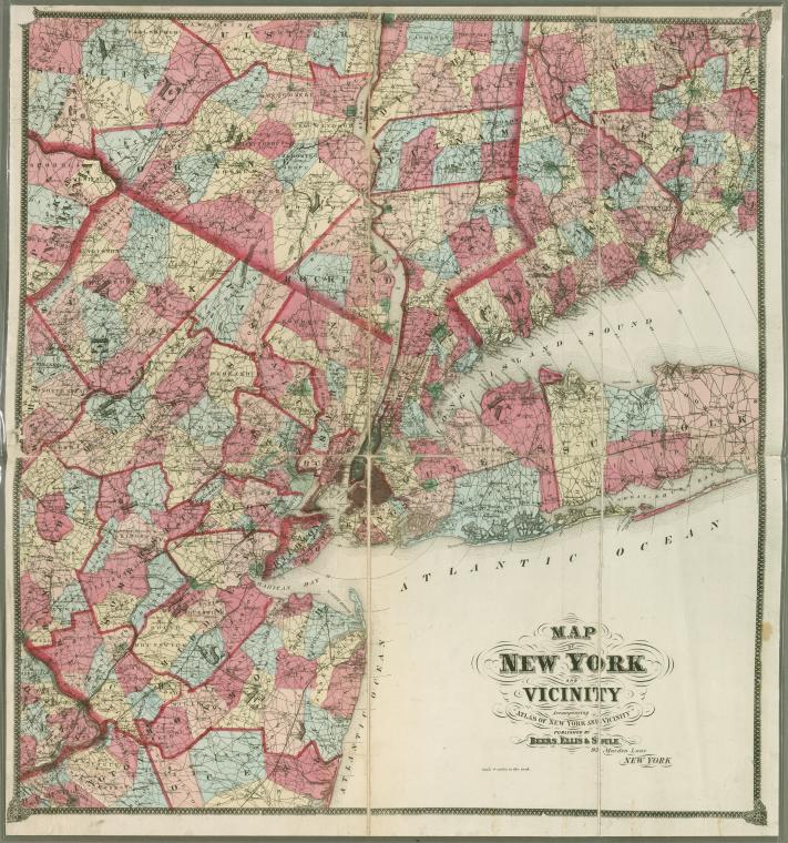
New York Public Library Releases 20,000 High-Quality Maps For Free Download
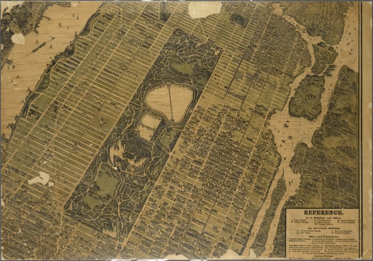
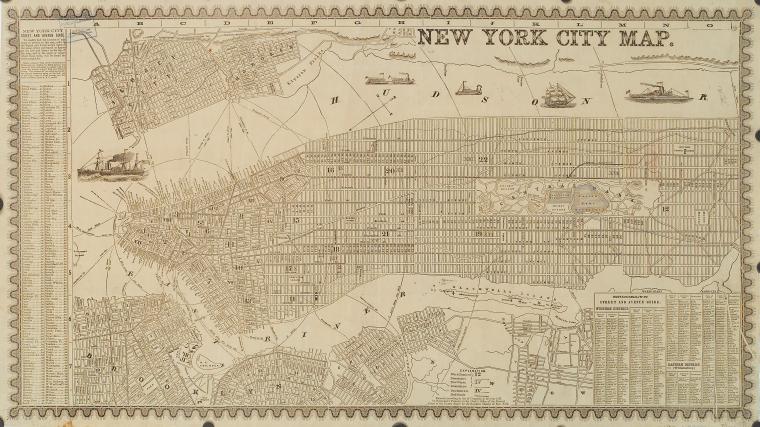
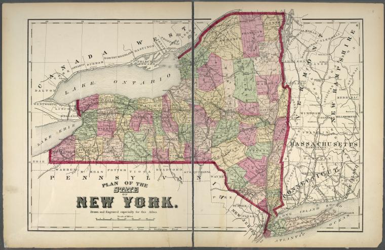
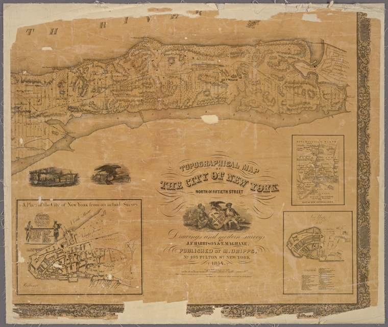
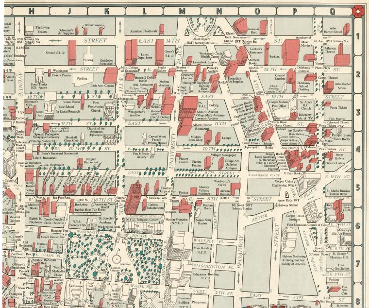
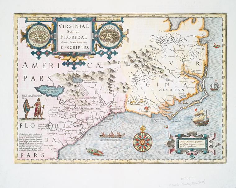
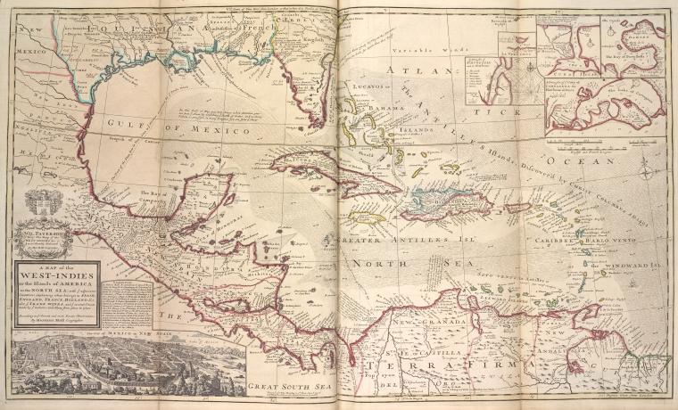
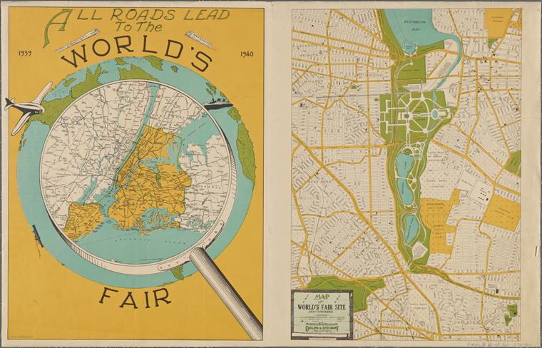
The New York Public Library has released more than 20,000 high-quality maps for free download through their Map Warper tool.
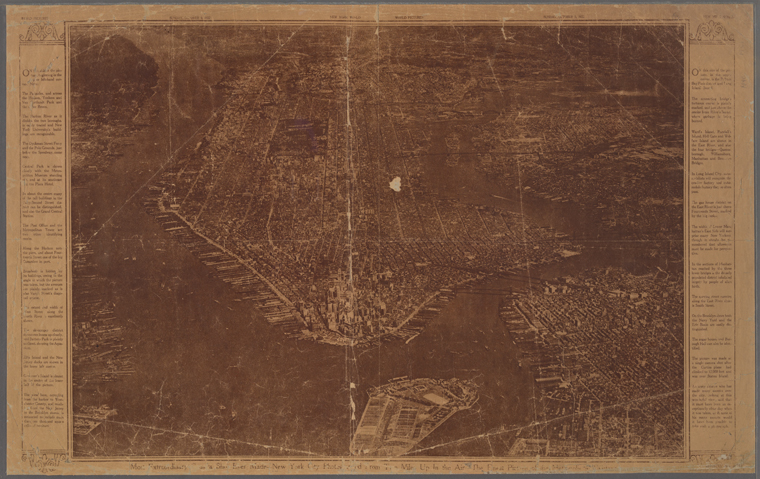
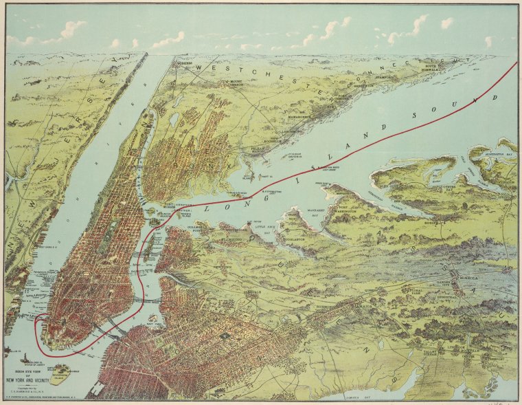
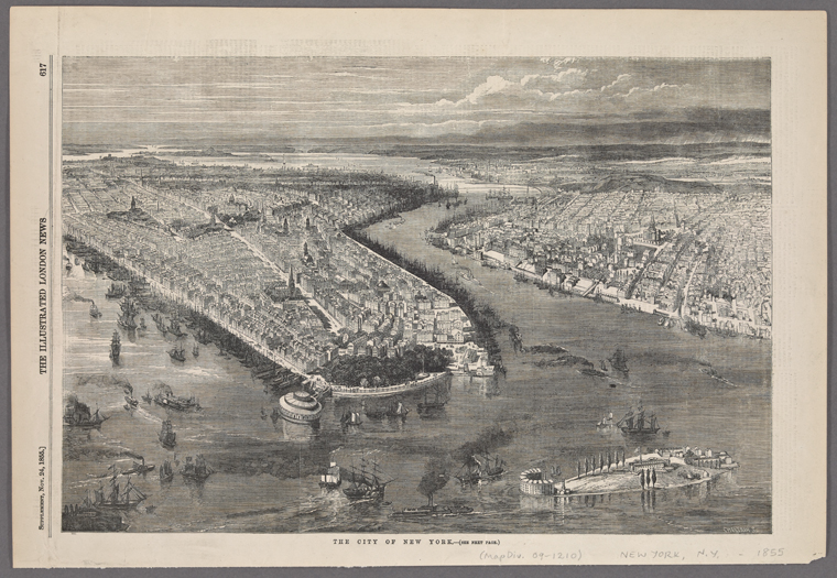
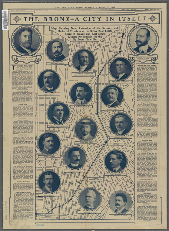
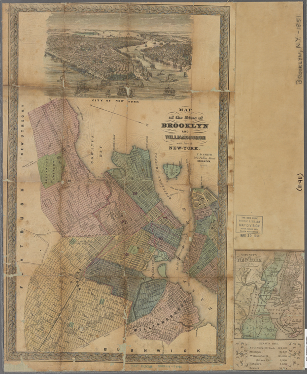
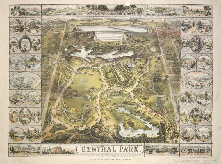
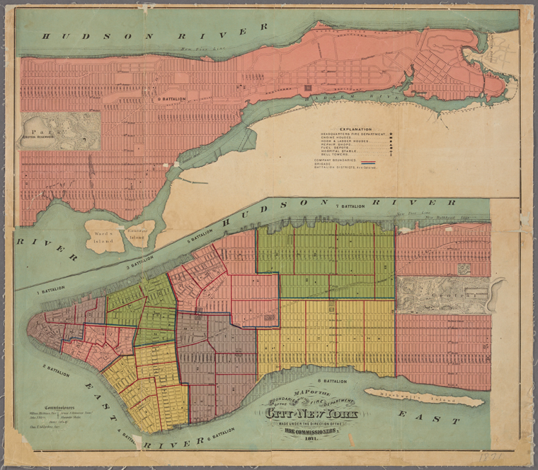
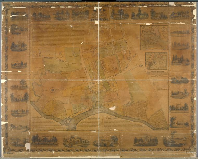
All you need is a free account. You can then download access to all sorts of maps, including 1,100 of the mid-Atlantic states from the 16th to 19th centuries; 700 topographic maps of the Austro-Hungarian empire created between 1877 and 1914; 2,800 maps from state, county and city archives; 10,300 maps from property, zoning, topographic, and fire insurance atlases of New York City dating from 1852 to 1922; and more than 1,000 maps of New York City and its boroughs, dating from 1660 to 1922. They detail transportation, vice, real estate development, urban renewal, industrial development and much more.
All they ask is that if used, credit for the maps is given as follows: ”From The Lionel Pincus & Princess Firyal Map Division, The New York Public Library.” For more info on the project, check out the NYPL blog.