Surreal satellite pictures of our planet
Across four decades since 1972, Landsat satellites have continuously acquired space-based images of the Earth’s land surface, coastal shallows, and coral reefs. The Landsat Program, a joint effort of the U.S. Geological Survey (USGS) and the National Aeronautics and Space Administration (NASA), was established to routinely gather land imagery from space. The result of this program is a long-term record of natural and human induced changes on the global landscape.
Each Landsat satellite images the Earth’s surface along the satellite’s ground track in a 185 kilometer-wide (115 mile-wide) swath as the satellite moves in a descending orbit (moving from north to south) over the sunlit side of the Earth. Each satellite crosses every point on the Earth at nearly the same time once every 16 or 18 days, depending on its altitude. Landsats 1, 2, and 3 orbited at an altitude of 920 kilometers (572 miles), circling the Earth every 103 minutes yielding repeat coverage every 18 days. Landsats 4, 5, and 7 were placed in orbit at 705 kilometers (438 miles) altitude, circling the Earth every 99 minutes, for a 16-day repeat cycle.
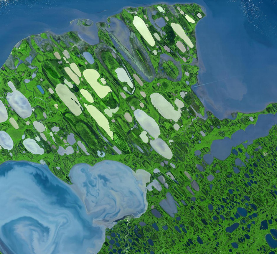
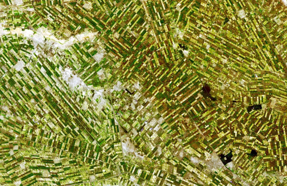
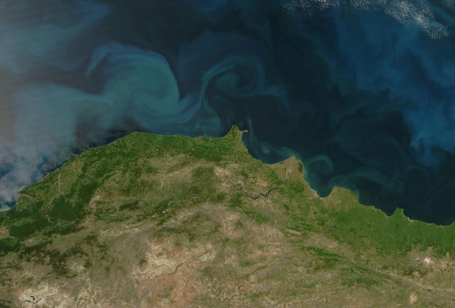
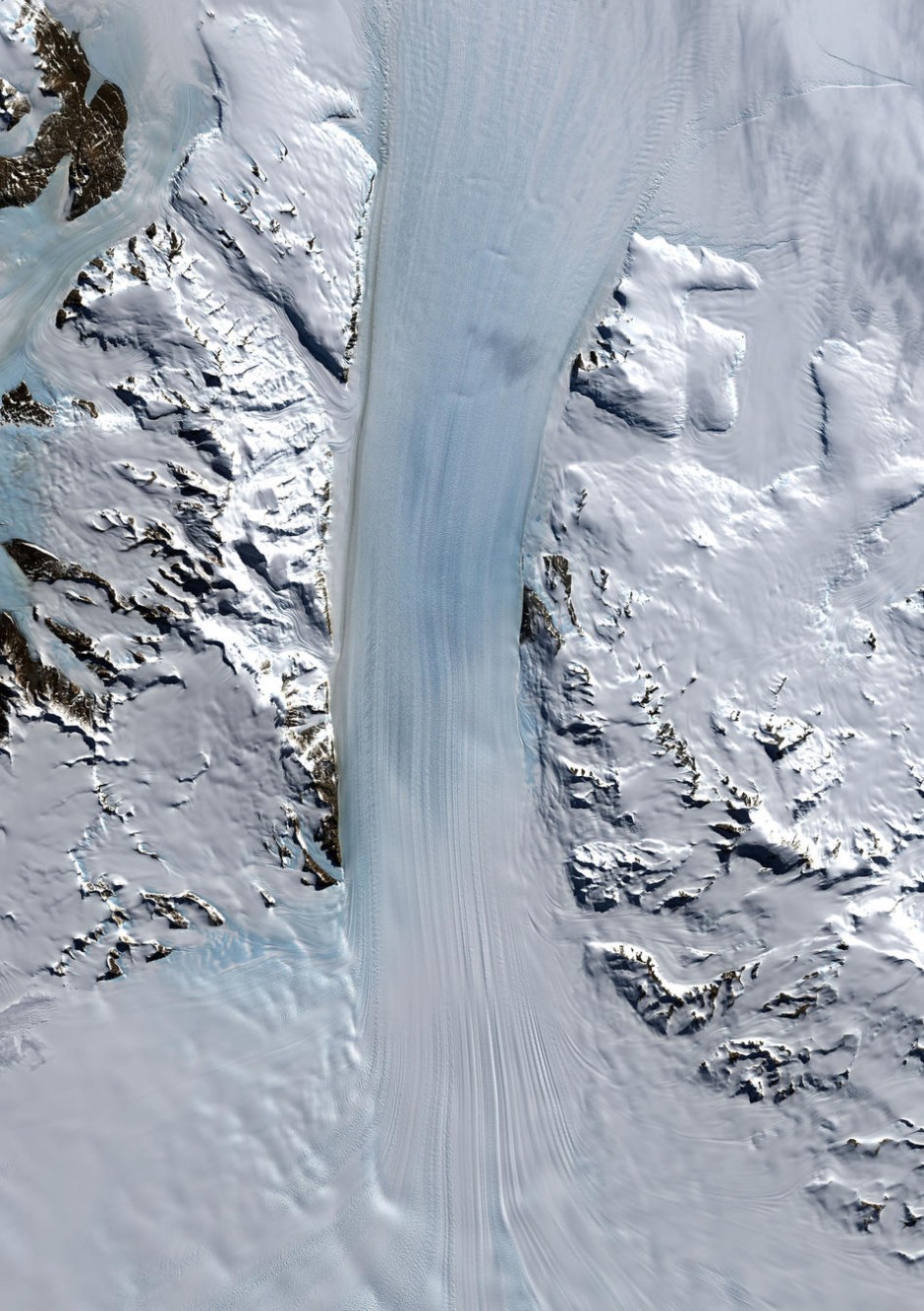
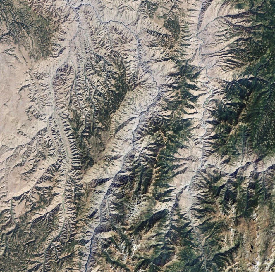
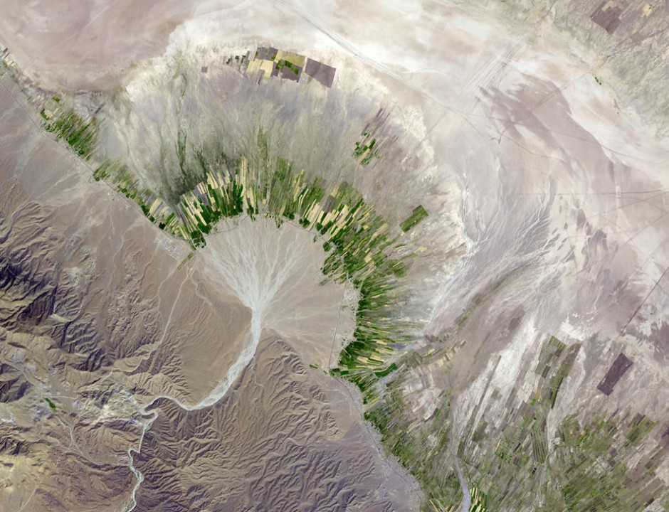
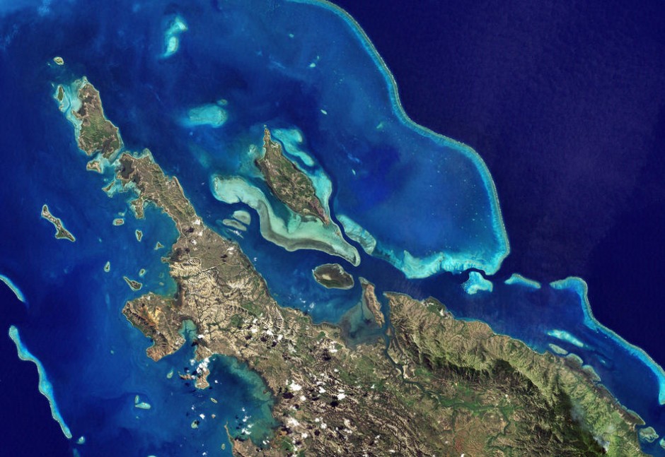
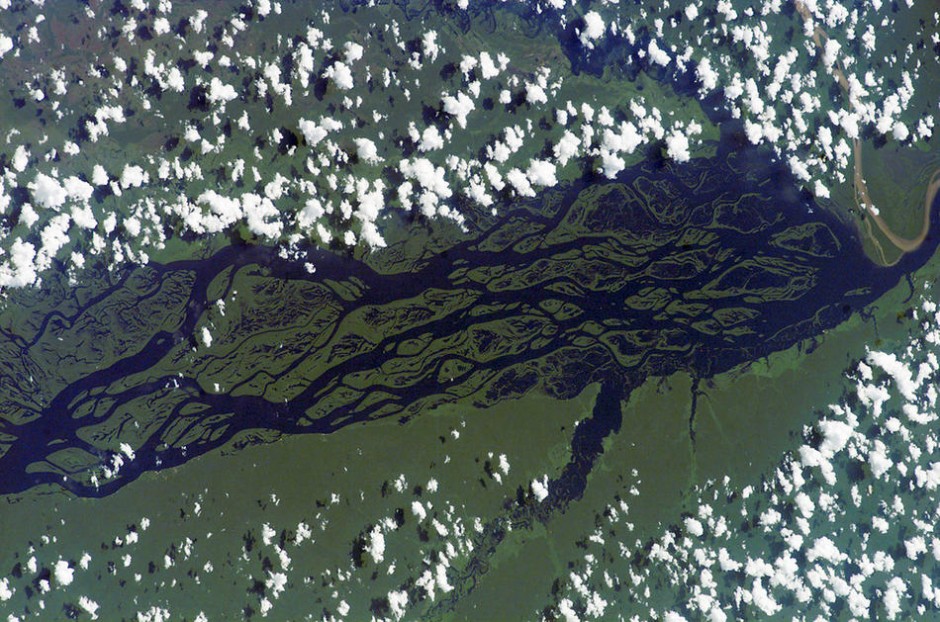
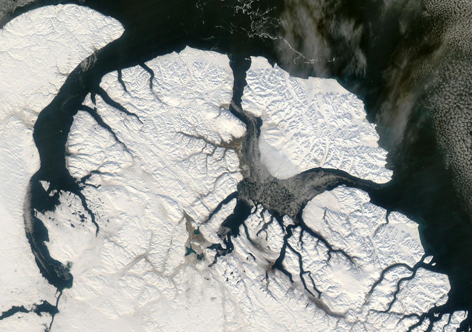
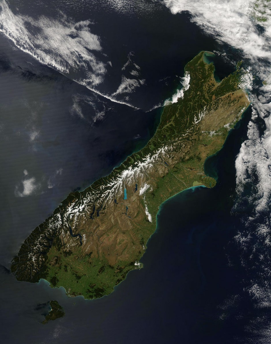
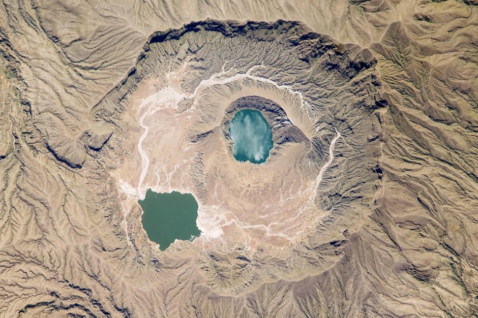
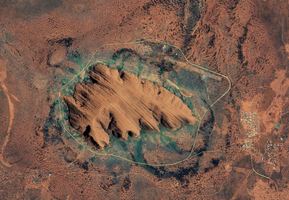
Earth observation via satellite imagery is a good indicator of climate change. Through satellites, the information transmitted helps to deepen our knowledge of our planet and evaluate emergencies to ensure we intervene promptly. In the broadest sense, satellites are fundamental to the conservation of our planet.